Connecting Urban Biodiversity
The regional conservation strategy for the San Francisco Bay Area—the Conservation Lands Network (CLN)—collaboratively determines conservation priorities across the region. Since its inception in 2011 the strategies have practically omitted all urban lands from planning efforts, despite the large proportion of urban land in the bay area (15% of all land) and the abundance of urban observations for CLN target species (e.g. Arboreal salamander, Dark-eyed junco, Gray fox).
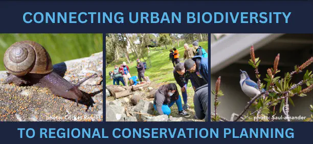
In this project, we leveraged the massive amount of community science data available from iNaturalist to extend the current maps of conservation target species into the urban landscape, thereby recognizing and quantifying the contribution of urban lands to regional conservation goals. We identified 18 target species, and supplemented existing iNaturalist observation data for these species with local community science initiatives, including a regional campaign and a partnership with a community based organization, YES Nature to Neighborhoods, on a community bioblitz. We used these observations and myriad environmental data including climate, soil, and housing density to train a MaxEnt species distribution model for each species.
With these models, we identify characteristics that demarcate suitable urban habitat and produce maps for target species. This work is a critical first step towards properly recognizing the contribution of urban areas to conservation goals and allowing land managers to incorporate all lands into regional conservation strategy.